Project Summary:
CBM Aggregates, a division of St Marys Cement Inc. (Canada) has submitted an application for a new Category 1, Class “A” licence (Pit Below Water) under the Aggregate Resources Act (ARA) on Part of Lot 25, Concession 1, Township of Puslinch, Wellington County, to the Ministry of Natural Resources and Forestry. The pit will be an expansion of the existing Lanci Pit. Technical studies, accompanying the application include a Hydrogeological Level 1 and Level 2 assessment, a Natural Environment Level 1 and Level 2 assessment, a Stage 1 and Stage 2 Archaeological assessment, and a Noise Impact Assessment.
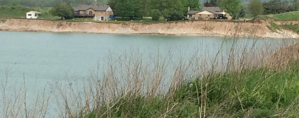
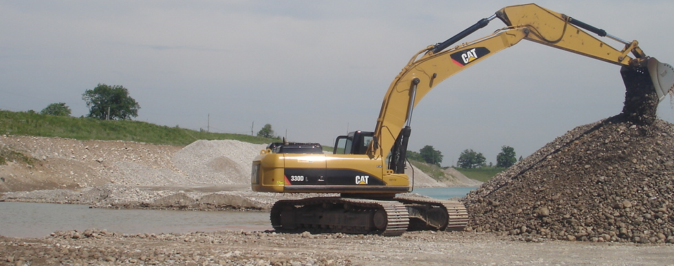
The proposed pit expansion would be located directly south of the Lanci Pit and will have a proposed licensed area of 14.8 hectares and extraction area of 10.1 hectares. Extraction would occur both above and below the groundwater table, similar to our current operation.
This site contains approximately 3 to 4 million tonnes of high quality sand and gravel resources. The area is recognized in Provincial geological mapping as having some of the highest quality sand and gravel in Wellington County, and provincial and county policies protect these significant resources.
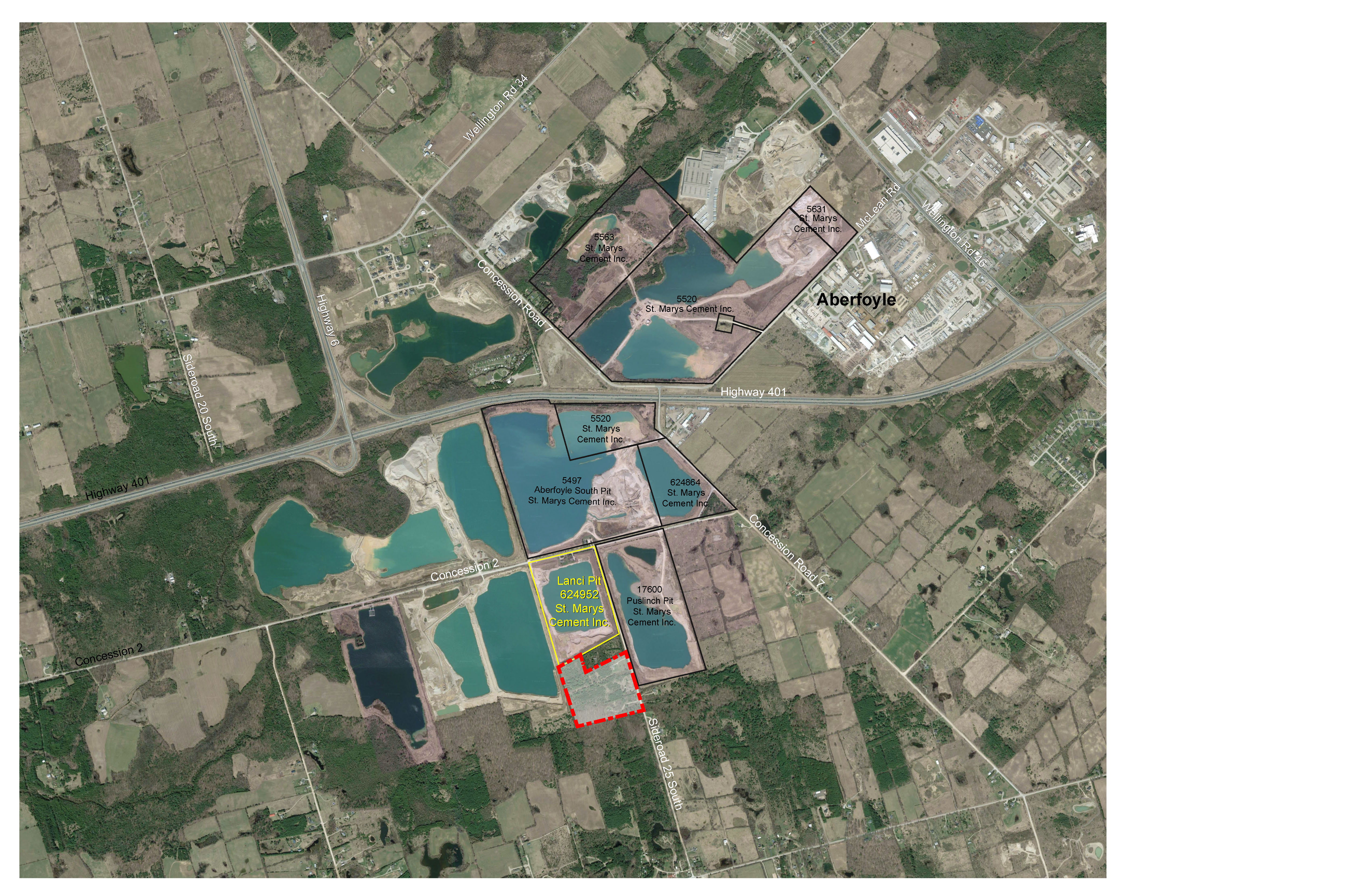
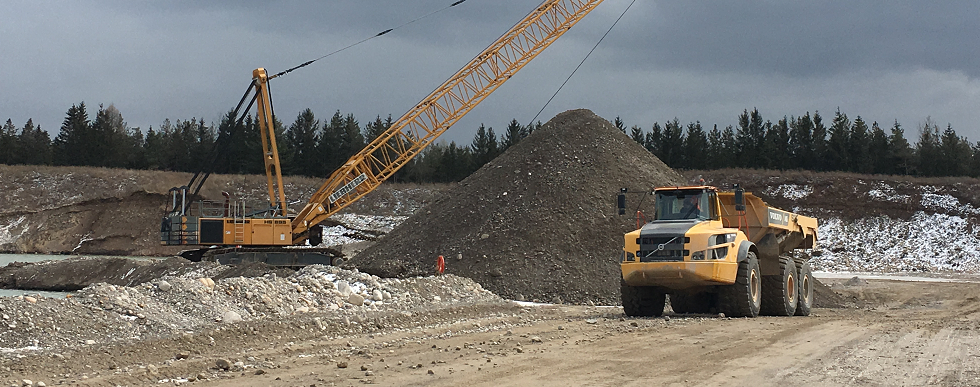
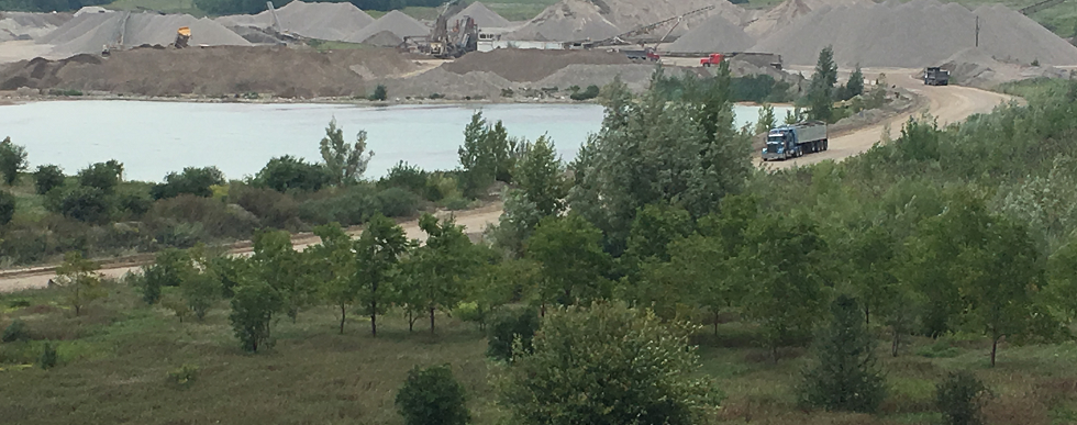
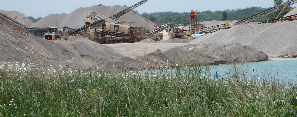
Just like our existing Lanci Pit, processing will not take place on site but rather the aggregate will be extracted and processed at our Aberfoyle South Pit, located between Highway 401 and Concession 2. This plant produces high quality materials in a close to market location including sand and gravel meeting concrete and asphalt specifications, crushed stone, granular and sand products.
There will be no increase in the annual tonnage shipped from this site. Existing haul routes will continue to be used and there will be no truck traffic on Sideroad 25. The hours of operation will be the same as the existing pit (7 am to 7 pm).
Please click here for a summary presentation of the Lanci Pit Expansion project. (22.10 MB)Technical Report Summaries and Technical Report Downloads
The following provides a summary of each study that was completed and a link for you to be able to download the associated report if of interest.
Planning Report
A Planning Report was prepared to review and assess the proposed pit relative to provincial, Wellington County (the County) and Township of Puslinch (the Township) land use planning policies and regulations. The Planning Report also includes a Summary Statement as required by the Aggregate Resources Act which outlines planning and land use considerations, agricultural classification of the Site, the quality and quantity of aggregate resources, projected truck traffic, and the proposed progressive and final rehabilitation plans.
The Site is designated Secondary Agricultural and Greenlands in the County’s Official Plan and is located within the County’s Mineral Aggregate Resource Overlay which are areas of high potential for aggregate extraction. To permit extraction on the Site, applications to amend the County’s Official Plan and Township Zoning By-law have been submitted.
The Planning Report concluded that the proposed pit represents the wise use and management of significant aggregate resources in a close to market location and is in the public interest in consideration of the economic, social and environmental factors that apply to this application. The proposal is consistent with the Provincial Policy Statement, and conforms to the Growth Plan and the County’s Official Plan.
Download: CBM Lanci Pit Expansion Planning Report - April 2020 (16.90 MB)
Site Plans
As required by the Aggregate Resources Act, a site plan has been prepared which identifies the existing features on and adjacent to the Site, the operational requirements and conditions for the pit, and how the Site will be rehabilitated.
The Revised Site Plan included in the link below identifies changes made to the site plan in response to public and agency comments on this application. The changes are identified in red-line.
Download: Lanci Pit Expansion - Revised Site Plan - Aug 2022 (5.82 MB)
Natural Environment Level 1 and 2 Assessment
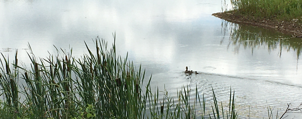
The purpose of the natural environment study is to assess potential environmental impacts of the proposed aggregate extraction on the site with respect to the environmental features and functions in the study area (the site and adjacent lands), the potential effects on the natural environment, and the rehabilitation potential of the site. The assessment was undertaken for potential ecological impacts under the ARA Provincial Standards, the Provincial Policy Statement, Growth Plan for the Greater Golden Horseshoe, policies of the County of Wellington, as well as other relevant legislation, including the Migratory Bird Convention Act (MBCA) and the Endangered Species Act (ESA). The study area includes the site and surrounding 120 m boundary as defined in the Aggregate Resources of Ontario Provincial Standards, Sections 2.2.3 and 2.2.4.
The investigation of existing conditions in the study area included a background information search and literature review to gather data about the local area and provide context for the evaluation of the natural features. An assessment was conducted to determine which species at risk (SAR) had potential habitat in the study area. The habitats and communities on the site were characterized through field surveys. The surveys were conducted from May to July 2017 and involved area searches, breeding bird surveys, general wildlife surveys, a bat habitat assessment, bat active monitoring surveys, bat acoustic surveys (stationary detectors), ecological land classification and botanical inventory. The boundary of the significant woodland was also delineated and staked in the field.
Eastern small-footed myotis, designated Endangered under the ESA was detected on the Site. Consultation with the Ministry of Environment, Conservation and Parks will be completed to identify any required approvals, or additional mitigation. Based on the assessment, it is expected that there will be no negative impacts to the significant natural features and functions in the study area with the implementation of mitigation measures and an ecologically based rehabilitation plan that will enhance the natural heritage system have been developed. The recommendations include implementation of sediment and erosion control measures and general best management practices, avoidance of soil compaction adjacent to the significant woodland.
Download: Natural Environment Report - April 2020 (6.00 MB)
Hydrogeological Level 1 and 2 Assessment (including Surface Water)
The purpose of the Hydrogeological Level 1 and 2 Assessment is to characterize the existing hydrogeological and hydrological conditions in the vicinity of the site and how they relate to the surrounding natural environment, and to assess potential impacts, if any, that the proposed below-water extraction would have on surface water and groundwater in the area. The assessment involved establishing baseline (current) surface water and groundwater conditions and completing an impact assessment considering proposed operational and rehabilitated site conditions. The completed tasks include a review of available and relevant historic data, a field data collection program, a survey of local groundwater users, and an assessment of the potential impact of the proposed below-water extraction on the surrounding groundwater and surface water receptors, including any creeks, streams, and nearby groundwater wells.
The proposed changes under operational and rehabilitated conditions are anticipated to result in minor groundwater level changes and increases to average annual surplus over the site footprint. The assessment concluded that there are no expected adverse impacts to baseflow or available groundwater quantity at nearby private groundwater wells, and that there are not expected to be any adverse impacts to groundwater quality or temperature at nearby groundwater wells or nearby aquatic habitat from either operational or rehabilitated site conditions. The assessment recommends that CBM’s Best Management Practices be followed and that groundwater monitoring continues throughout the operational period.
Download: Hydrogeological Assessment- April 2020 (28.00 MB)
Noise Impact Assessment
Golder completed a Noise Impact Assessment for the site. Golder established sound level limits according to MECP noise guidelines and compared the predicted noise levels of the Project at the identified Points of Reception (PORs) in the area of the site . The results indicated that, after the implementation of identified noise controls or equivalent measures, the noise levels predicted at the off-site PORs are expected to be at or below the applicable noise limits. Based on the results of the assessment, the site will operate in compliance with Ministry of Environment, Conservation and Parks and Ministry of Natural Resources and Forestry noise guidelines for all PORs.
Download: Noise Impact Assessment - April 2020 (13.20 MB)
Stage 1 and Stage 2 Archaeological Assessment
A Stage 1 archaeological assessment was completed for the site and adjacent lands (study area) site. The Stage 1 assessment compiled all available information about the known and potential archaeological resources within the study area and provided direction for the protection, management and/or recovery of these resources, consistent with the Ministry of Heritage, Sport, Tourism, and Culture Industries guidelines. The Stage 1 assessment found potential for archaeological sites for pre-contact and historic Indigenous and Euro-Canadian archaeological resources to exist on the site and recommended further Stage 2 field surveys to further assess archaeological potential.
The objectives of the Stage 2 archaeological assessment were to provide an overview of archaeological resources on the property and to determine whether any of the resources might be artifacts and archaeological sites with cultural heritage value or interest and to provide direction for the protection, management and/or recovery of these resources. Areas on the site recommended for Stage 2 assessment were surveyed by means of shovel test pitting completed between October 23 and October 27, 2017. The Stage 2 survey involved participation by archaeological field liaisons from Mississauga of New Credit First Nation. The Stage 2 archaeological assessment resulted in the identification of zero artifacts. No further archaeological assessment is recommended for the site.
Download: Rep Stage 1-2 Arch Assess - November 02, 2020 (8.60 MB)
Download: Entered Into Register Archaeological Report for P340-0061 2017 (0.05 MB)
County of Wellington Planning Report
Download: County Recommendation Report July 2022 (9.52 MB)